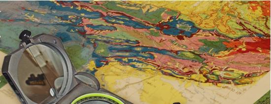
The Geographical Information System Laboratory (LabGIS) offers researchers and students with different skills the opportunity to collaborate in research activities on various issues related Geographic Information Systems (GIS), remote sensing, image processing, core descriptions (EasyCopy and EasyCore http://www.myeasycopy.com/academic-projects.html) and 3D modeling. The LabGIS is computer laboratory designed for five computer workstation; it offers software and academic teaching facility for students and researchers of the Department.
Contacts
Equipment
The LabGIS is equipped with five workstations. These computers are limited to use by only current members of the Department; this includes students, staff, faculty, and visiting scholars. The LabGIS hosts numerous commercial and freeware software related Geographic Information Systems (GIS), remote sensing, image processing and 3D modeling