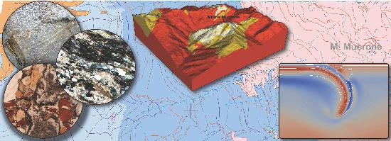
Geological mapping, meso- and micro-structural analysis, multiscale 2D-3D - structural reconstruction and quantitative geodynamic modelling of poly-deformed terrains finalised to research activity on mountain building and to external activities as industry exploration and application (natural resources, geo-engineering applications), and scientific dissemination.
Contacts
Equipment
umens DC192 visualizer Full HD
Midland Valley Move Software Suite
GeoModeller Software Suite
ASPECT Geodynamics Software
Quantitative X-ray Map Analyser (Q-XRMA)
LAMMPS Molecular Dynamics Simulator
Optical microscope Zeiss Axioscope with multidiscussion unit Stereo microscope
Digital photo camera Zeiss with 17’’ screen, usb and compact flash ports